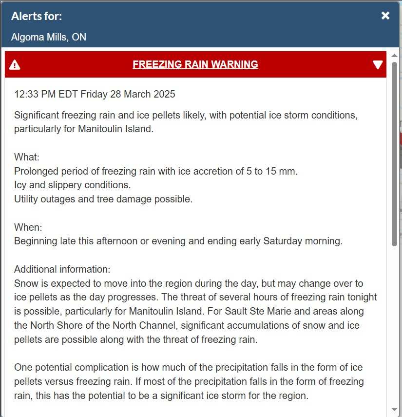


North Shore Under Weather Warning
Ice pellets, snow, and freezing rain expected for the coming weekend

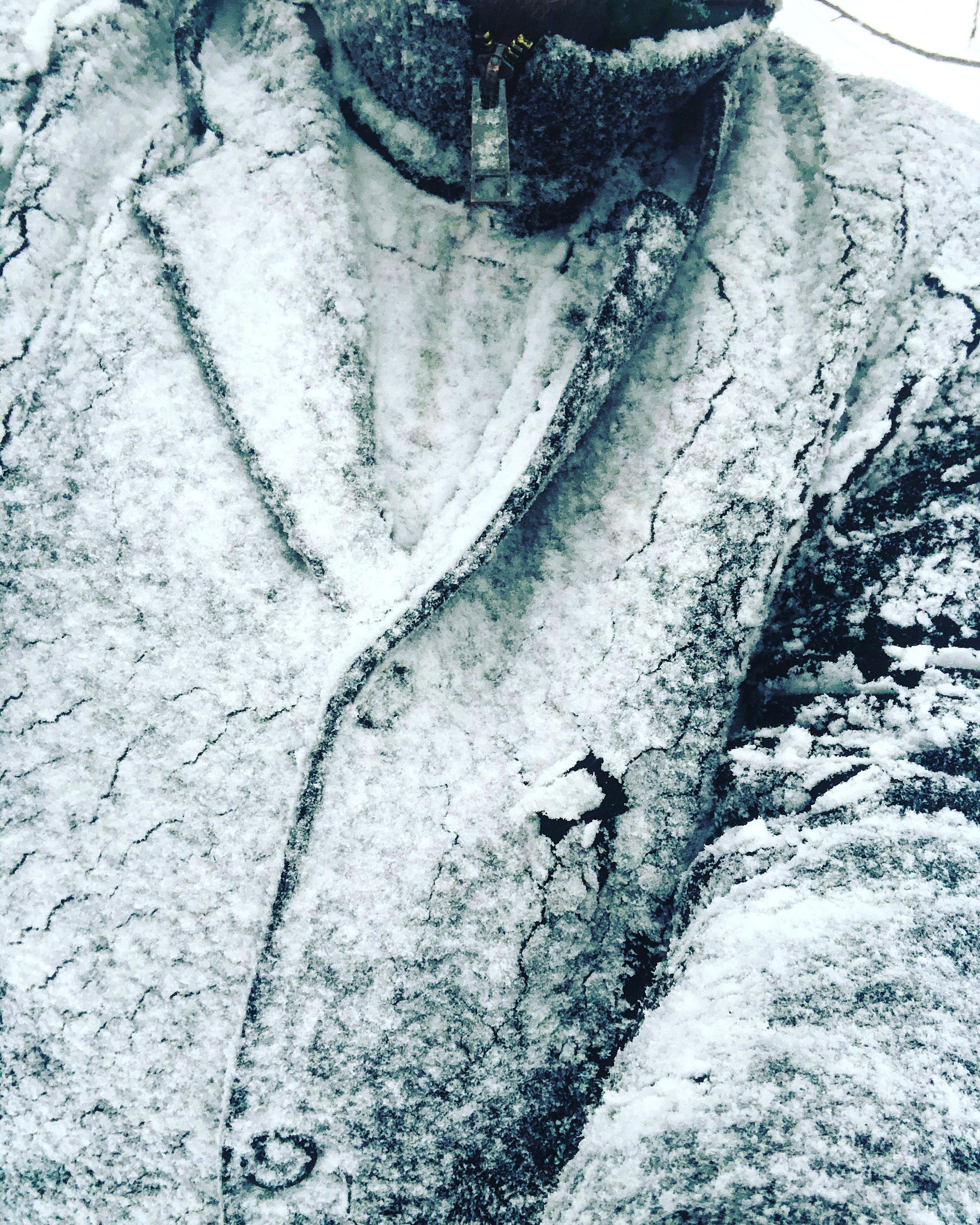
Don’t put away the heavy coats just yet. © John Degen, 2020.
Time to get in the storm chips. Looks like March wants to go out like a lion.
A significant portion of the Province of Ontario is now under a sustained weather warning that calls for freezing rain, ice pellets and snow all weekend, March 28, 29, and 30.
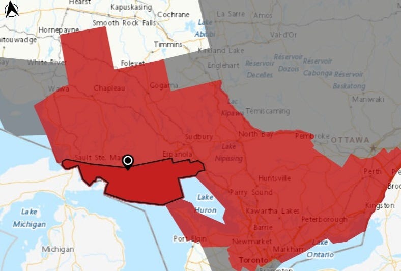
Weather warning map courtesy Environment Canada.
Lake Huron’s North Shore is entirely within the warning area, and residents are advised to prepare for severe weather, extremely slick roads, and possible power outages.
Environment Canada’s warning is consistent across the region, saying:
Snow is expected to move into the region during [Friday], but may change over to ice pellets as the day progresses. The threat of several hours of freezing rain tonight is possible, particularly for Manitoulin Island. For Sault Ste Marie and areas along the North Shore of the North Channel, significant accumulations of snow and ice pellets are possible along with the threat of freezing rain.
One potential complication is how much of the precipitation falls in the form of ice pellets versus freezing rain. If most of the precipitation falls in the form of freezing rain, this has the potential to be a significant ice storm for the region.
Easterly winds gusting up to 50 km/h could exacerbate the situation if there is ice build-up on tree limbs and power lines.
After a brief break during the day Saturday, another winter storm will likely affect the region on Sunday with a threat of significant snowfall, freezing rain and ice pellets. More details on precipitation amounts will come in future updates.
Surfaces such as highways, roads, walkways and parking lots will become icy, slippery and hazardous. Ice build-up may cause tree branches to break. Utility outages may occur.
Slow down driving in slippery conditions. Watch for taillights ahead and maintain a safe following distance.